|
|
|
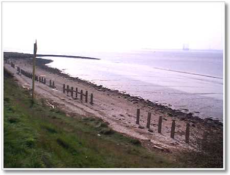 |
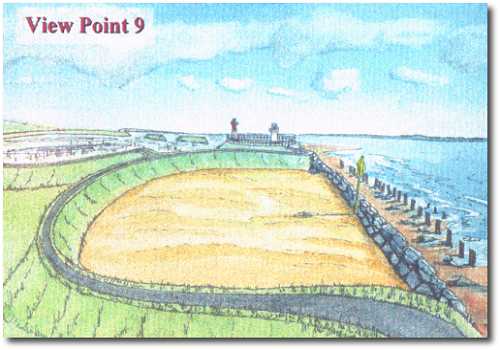
This view of the foreshore encompasses the earth bank just before the lighthouses - an area subject to river and weather erosion where one of the major North Sea Gas pipelines crosses the Humber. It is unclear at this stage whether vehicle access to the lighthouses will be required - if so this area will probably be breached by a roadway / promenade, a continuum with that stretching back to the proposed slipway. In this impression it is assumed that only a footpath access is provided. The existing cove has been converted into a protected beach area shown here with sand, but this could equally be a shingle or pebble beach. |
|
|
Wave erosion of the beach material is prevented by
a low rock armour wall. |
 |
|